
Property Reports
Property Reports offer comprehensive property assessments using high-resolution aerial imagery and geospatial analysis. It covers essential aspects like roof evaluations, defensible space, and other critical property features. With data sourced through one of the top aerial imagery providers in the world, each report ensures accuracy and clarity.
Property Management:
- Monitor roof conditions and exterior features.
- Identify hazards like overgrown trees.
- Track changes for timely maintenance planning.
Urban Development:
- Analyze building footprints and roof elevations.
- Optimize infrastructure using building density data.
- Support research and policy development for mitigation.
Wildfire risk assessment:
- Evaluate defensible space and structures.
- Identify high-risk areas with dense vegetation.
- Support fire prevention through landscape management.
Energy Efficiency:
- Assess tree cover for solar suitability.
- Review roof conditions for energy improvements.
- Optimize solar panel placement on roofs.
SkyFi integrates diverse geospatial data sources to give you the most up-to-date, detailed understanding of the landscapes shaping our future.
Industries
From agriculture to urban planning, environmental monitoring to disaster response, our platform provides essential data for informed decision-making across various sectors.
Swipe to see more
25.00 km
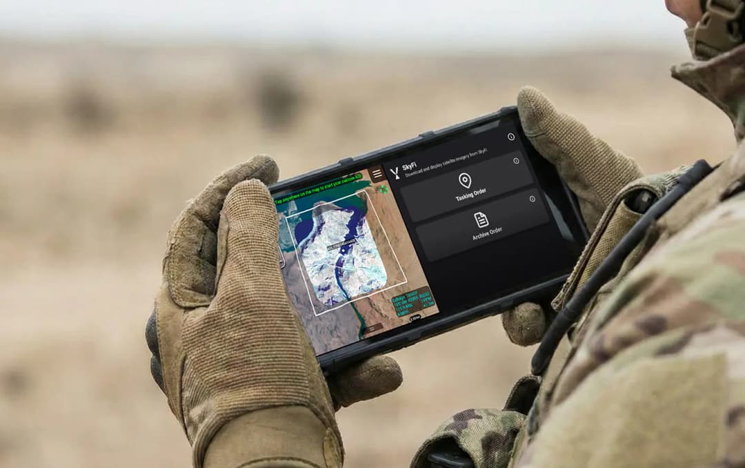
Military & Defense
Defense and security teams use SkyFi to turn satellite imagery and multi-domain sensor data into trusted operational intelligence. Access 150+ satellite sources, apply AI-enabled analytics, and deliver high-fidelity insights directly into COP systems and ATAK for faster, mission-ready decision-making.
Learn More