
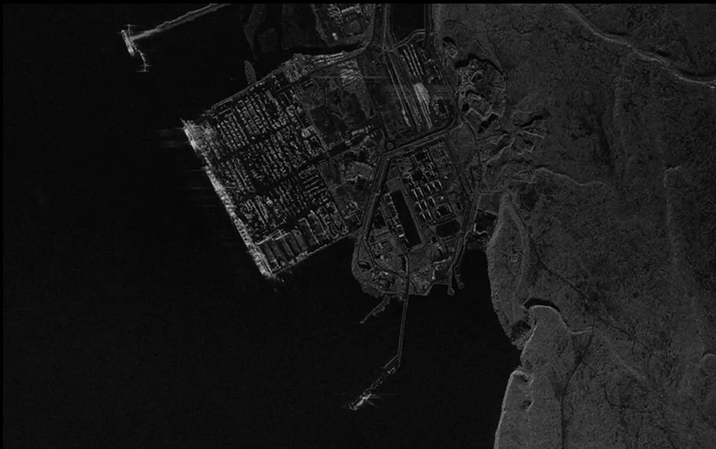
Aerial Digital Surface Model
An aerial digital surface model (DSM) delivers a detailed three-dimensional view of the Earth’s surface, capturing topographical features, vegetation, and man-made structures. Generated from high-resolution aerial imagery, this model provides accurate elevation data that reflects the entire surface, including buildings and vegetation. The DSM is particularly useful for urban planning, vegetation analysis, and landscape monitoring, where understanding both natural and constructed features is important. Its detailed portrayal of all surface elements makes it a valuable tool for environmental and infrastructure assessments.
Telecommunications:
- Optimize antenna placement for signal coverage.
- Identify line-of-sight obstacles efficiently.
- Plan 5G network expansion with precision.
Urban Planning:
- Analyze building heights for zoning requirements.
- Assess development impact on surrounding areas.
- Identify suitable locations for new infrastructure.
Transportation:
- Plan new routes considering terrain elevation.
- Assess road infrastructure with detailed elevation.
- Improve logistics with accurate topographical data.
Environmental Management:
- Monitor changes in natural landscapes effectively.
- Identify flood-prone areas for mitigation.
- Support conservation with habitat change analysis.
SkyFi integrates diverse geospatial data sources to give you the most up-to-date, detailed understanding of the landscapes shaping our future.
Industries
From agriculture to urban planning, environmental monitoring to disaster response, our platform provides essential data for informed decision-making across various sectors.
Swipe to see more

25.00 km
Military & Defense
Defense and security teams use SkyFi to turn satellite imagery and multi-domain sensor data into trusted operational intelligence. Access 150+ satellite sources, apply AI-enabled analytics, and deliver high-fidelity insights directly into COP systems and ATAK for faster, mission-ready decision-making.
Learn More